


ZuluThermo — hydraulic modeling for district heating systems
ZuluThermo is a software suite for analyzing and modeling heat networks. It is a powerful tool for planners, field technicians and engineers who operate district heating systems.
With ZuluThermo, you can create simulations that reflect heat network operating modes, analyze emergencies, and evaluate the efficiency of modernization and development measures for district heating systems.
ZULUTHERMO FUNCTIONALITIES:
-
Heat network adjustment
-
Simulation modeling of a heat network
-
Calculating pipeline diameters of a heat network
-
Heat network calibration
-
Searching for leaks and defects
Calculating the required source temperature
-
Analyzing heat network reliability
-
Calculating reserve network capacity
-
Calculating standard heat loss through insulation
-
Thermogram analysis
-
Network switching
-
Building piezometric graphs
Heat network adjustment
Simulation modeling of a heat network
Calculating pipeline diameters of a heat network
Heat network calibration
Searching for leaks and defects
Calculating the required source temperature
Analyzing heat network reliability
Calculating reserve network capacity
Calculating standard heat loss through insulation
Thermogram analysis
Network switching
Building piezometric graphs
ZuluThermo allows users to analyze and model dead-end and circular heat networks including those with booster pumping stations and throttling devices, with one or several supply sources. Using this program, you can do thermohydraulic calculations and design networks, whose layouts offer numerous ways to add district heating substations
and district heating stations. When doing hydraulic calculations, it is possible to use generalized consumer data without thermal loads and specific layouts for connecting consumers to a heating network.
Understanding network components
The product is currently available in the following configurations:
-
ZuluThermo – heat network modeling for ZuluGIS
-
ZuluNetTools - ActiveX-components for utility network modeling
By using ZuluThermo in conjunction with ZuluGIS, you can design a digital model of a heat network, which allows you to complete various objectives (read more).
 Bookmark: #BUILD A HEAT NETWORK MODEL
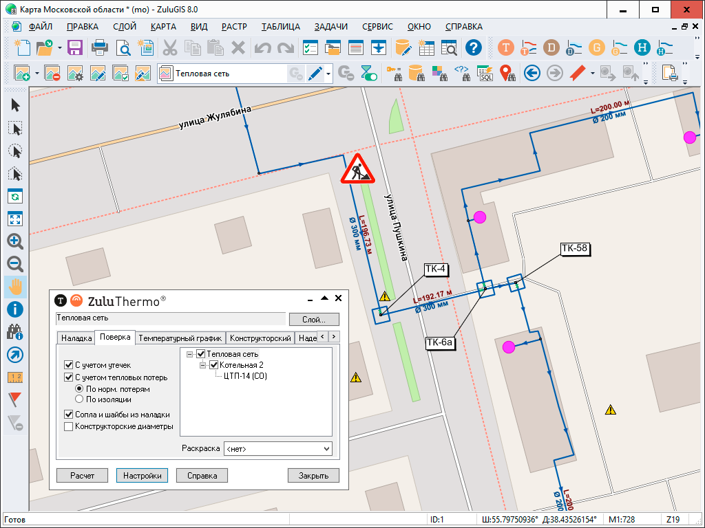
You can build a digital heat network model by using ZuluGIS graphics editor. The program immediately generates a computational model and tables for each object. All that is required is setting the calculation parameters for objects and clicking the button to perform the task.
Read more about heat network modeling here.
As a geometric information system, ZuluGIS has built-in tools that enable users to evaluate calculation results and check the accuracy of engineering solutions, such as database queries, map data output, custom model coloring, graph-building tools for falling pressure, temperature, etc.
Digital models and mapping data can be printed out or converted into PDF, AutoCAD (dxf) or other GIS file formats. You can also print out a thermohydraulic analysis report or save it as an Excel spreadsheet.