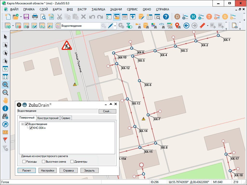
ZuluDrain — hydraulic modeling for wastewater disposal systems

Geographic information system ZuluGIS and its extension module ZuluDrain allow users to create computational models of networks, complete network certification, use generated models to perform information tasks and topological analysis, and make various hydraulic calculations.
With ZuluDrain, you can:
- Perform a routine annual analysis of system conditions and evaluate system efficiency
- Analyze, calculate, and model a system, which includes determining pipeline diameters and building an elevation diagram
- Identify ‘narrow’ areas in a wastewater disposal system, for example, overflowing sections of a gravity sewer system
- Identify areas with hidden blockages by collating the results of computational modeling with network survey data
- Create simulation models for the aftermath of large water discharges caused by rainwater and spring flooding
There are currently two versions of the product:
-
ZuluDrain – analysis and modeling of wastewater disposal systems for ZuluGIS
-
ZuluNetTools – ActiveX components for utility network modeling
The software enables export and import of EPA SWMM 5.0 simulation models.
By using ZuluDrain in conjunction with ZuluGIS, you can design a digital model of a wastewater disposal system, which allows you to complete various objectives. Learn more.
ZuluDrain Functionalities
Build a computational model
You can quickly and easily enter a new system into ZuluGIS by using a mouse or entering its coordinates. The computational model is generated immediately. All that is required is setting the calculation parameters for objects and clicking the button to perform the task.
See also: Hydraulic modeling for water supply systems, Hydraulic modeling for gas distribution networks


